


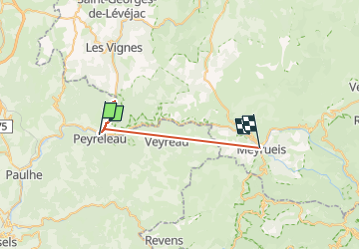
aller-retour le rosier refuge de la sablière

Daron34
User

Length
27 km

Max alt
1019 m

Uphill gradient
1565 m
Km-Effort
47 km

Min alt
406 m

Downhill gradient
1264 m
Boucle
No
Creation date :
2025-06-08 12:28:16.96
Updated on :
2025-06-08 18:06:25.696
3h00
Difficulty : Very easy

FREE GPS app for hiking
 SityTrail
IGN / Geographical institutes
SityTrail Plus
The world is yours!
About
Trail Walking of 27 km to be discovered at Occitania, Lozère, Le Rozier. This trail is proposed by Daron34.
Description
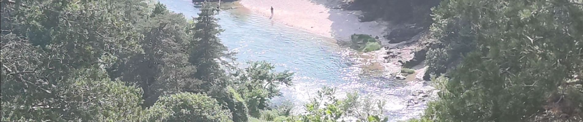
aller-retour depuis Le Rozier jusqu'au refuge de la Sabliere :
11kms aller et retour durée 3h . rando facile,ombragé et petit dénivelé 150m !
Photos


Positioning
Country:
France
Region :
Occitania
Department/Province :
Lozère
Municipality :
Le Rozier
Location:
Unknown
Start:(Dec)
Start:(UTM)
516545 ; 4893195 (31T) N.
Comments